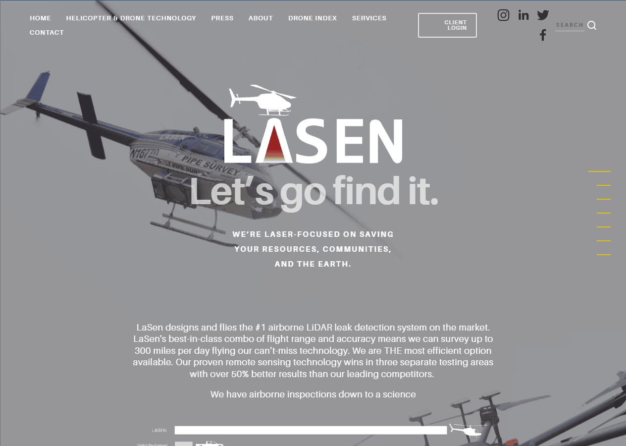
Lasen
Web Development, Client Portal, Flight Path Tracking Integration
Overview
For Lasen, we developed their website, client portal administration, and integrated helicopter flight path representation showing detected identification for helicopters and drones on the flight map.
Lasen's core offering relies on incredibly complex geographic data. Visualizing real-time and historical flight paths of helicopters and drones in a browser required a performant, stable map infrastructure that would not buckle under heavy data loads. Furthermore, the client portal needed to be highly secure and intuitive.
The Stack
Our Journey
Mapping Strategy
Developing the high-performance geographic visualization infrastructure.
Security
Hardening the client portal architecture for sensitive flight data.
Integration
Real-time telemetry and identification tracking across multiple systems.
Impact & Results
New industry standard for analytics.
Hardware-accelerated rendering for 1000s of points.
Highly secure, intuitive Client Portal.